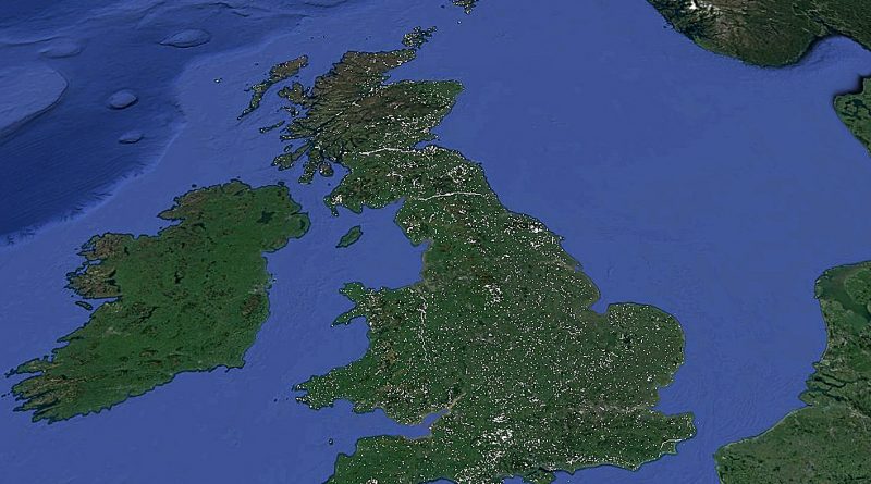
Britain’s Earthworks (Dykes) and Gazetteer
Zoom in to view – the Scheduled Monument Maps icons (polygons) then click on the icon for further information and official website maps and information. THE POP_UP WILL ONLY WORK IF YOUR BROWSER IS SET TO ALLOW POP_UPS!! The information contained in the Map are from the Historic Monuments the public body that champions and protects England’s historic places, funded by the Department for Digital, Culture, Media and Sport.
Over the course of this year we will add our detailed research on Earthworks (Dykes) with over 1500 additional sites showing for the first time all details from Scheduled Monument Report to Excavation details with Dimensions and Dates of these sites. This will be further enhanced by the addition of GE maps, Historic 1800 OS Maps and LiDAR maps and VIDEO’s showing in details the Dyke and how it look at the time of construction – all proving that POST_GLACIAL FLOODING occurred in the Mesolithic and Neolithic period of Britain’s History and rivers were still way higher than today even in the Bronze Age. Copyright: www.prehistoric-britain.co.uk
Gazetteer – click on SM REF: (if available) for LiDAR, OS (1800s) and GE Maps of the Location, Scheduled Monuments official report and the Dykes details including a ‘Look around Video’ of the landscape during the Mesolithic period.
[table id=3 alternating_row_colors=true column_widths=”30%|20%|40%” /]
